24 Hrs
المصدر:
عربية – DW
عربية – DW
جاهز للتشغيل
جاهز للتشغيل
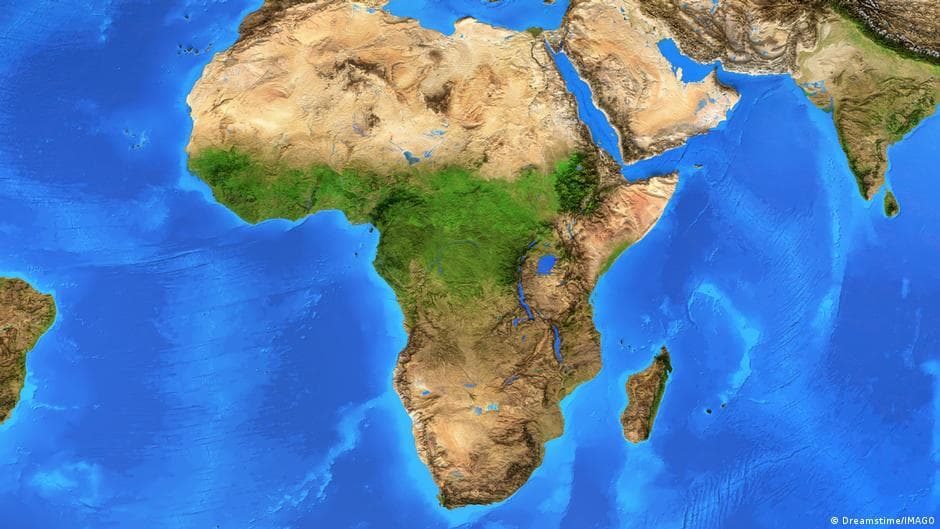
The United Nations has issued a resolution supported by 164 countries calling for a shift away from the use of the Mercator map, created by Gerhardus Mercator in 1569 and used since the 16th century, because it distorts the relative sizes of landmasses—particularly exaggerating the size of regions near the poles. The initiative, led by Togo with assistance from France, advocates adopting the "Equal Earth" projection, which presents sizes more accurately, aiming to correct misconceptions about the true dimensions of continents, especially the underestimation of Africa. This represents a significant step in confronting the legacy of the colonial era and presenting a fairer image of the world. Togo will update its educational geographical materials with this new projection and calls on African countries and the world to adopt this system to correct societal and educational perceptions, promote knowledge rooted in scientific accuracy, and uphold the dignity and equality of all peoples.
تنويه: هذا ملخص تم إنشاؤه بواسطة الذكاء الاصطناعي


comments.heading