7 Hrs
المصدر:
تونزي تيليغراف
تونزي تيليغراف
جاهز للتشغيل
جاهز للتشغيل
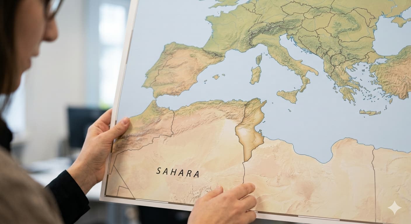
The article explains that the adoption by the United Nations General Assembly of a new map called "The Fair Earth" will alter the traditional visual perception that has been used for over 450 years, based on the Mercator projection system. This system enlarges the size of countries as they move away from the equator and reduces their size near the poles, leading to an inaccurate representation of country sizes—such as Tunisia or parts of Europe. According to the new map, Tunisia will appear at its true size, which is about one-third of France and half of Italy, while the visual sizes of European countries will be reduced, correcting misconceptions and highlighting Tunisia's strategic location in the Mediterranean. This change reflects a victory for geographical awareness and aims to provide a more accurate representation of countries' true sizes, without altering their borders or actual land areas.
تنويه: هذا ملخص تم إنشاؤه بواسطة الذكاء الاصطناعي




comments.heading