22 Hrs
المصدر:
قناة المنار
قناة المنار
جاهز للتشغيل
جاهز للتشغيل
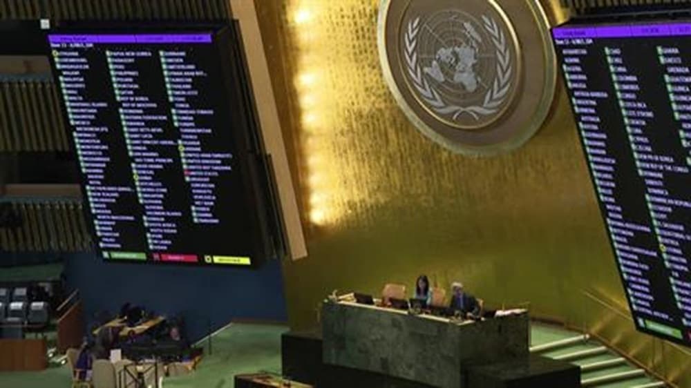
The United Nations adopted a resolution aimed at updating the world map to be more accurate and realistic, correcting distortions that had reduced the symbolic size of Africa and exaggerated the sizes of North and South America. The resolution included a call for countries and organizations to use maps based on "equal-area projection," a system that more accurately represents landmass areas, moving away from Mercator projection, which has been used since the sixteenth century and tends to make landmasses appear larger the further they are from the equator. The UN emphasized that distortions in maps affect our understanding of the world and contribute to an unbalanced perspective, highlighting the need to adhere to scientific knowledge and to respect truth and equality in representing peoples. Opposition to the resolution came from the United States, which considered such measures as threats to the credibility of the organization and as promoting ideological agendas. Meanwhile, representatives of African countries affirmed that updating the maps aims to improve global understanding and to promote justice in how the world is depicted.
تنويه: هذا ملخص تم إنشاؤه بواسطة الذكاء الاصطناعي



comments.heading