2 Days
المصدر:
جريدة اللواء
جريدة اللواء
جاهز للتشغيل
جاهز للتشغيل
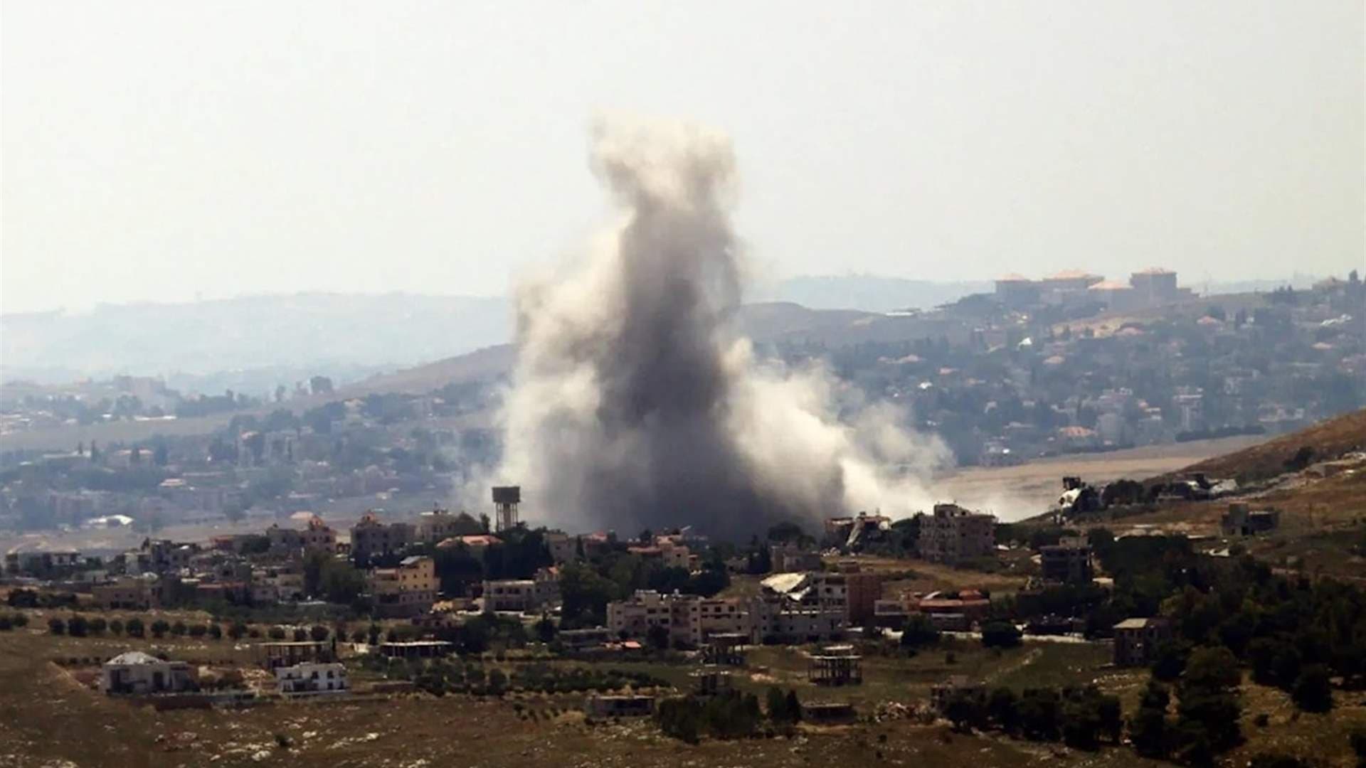
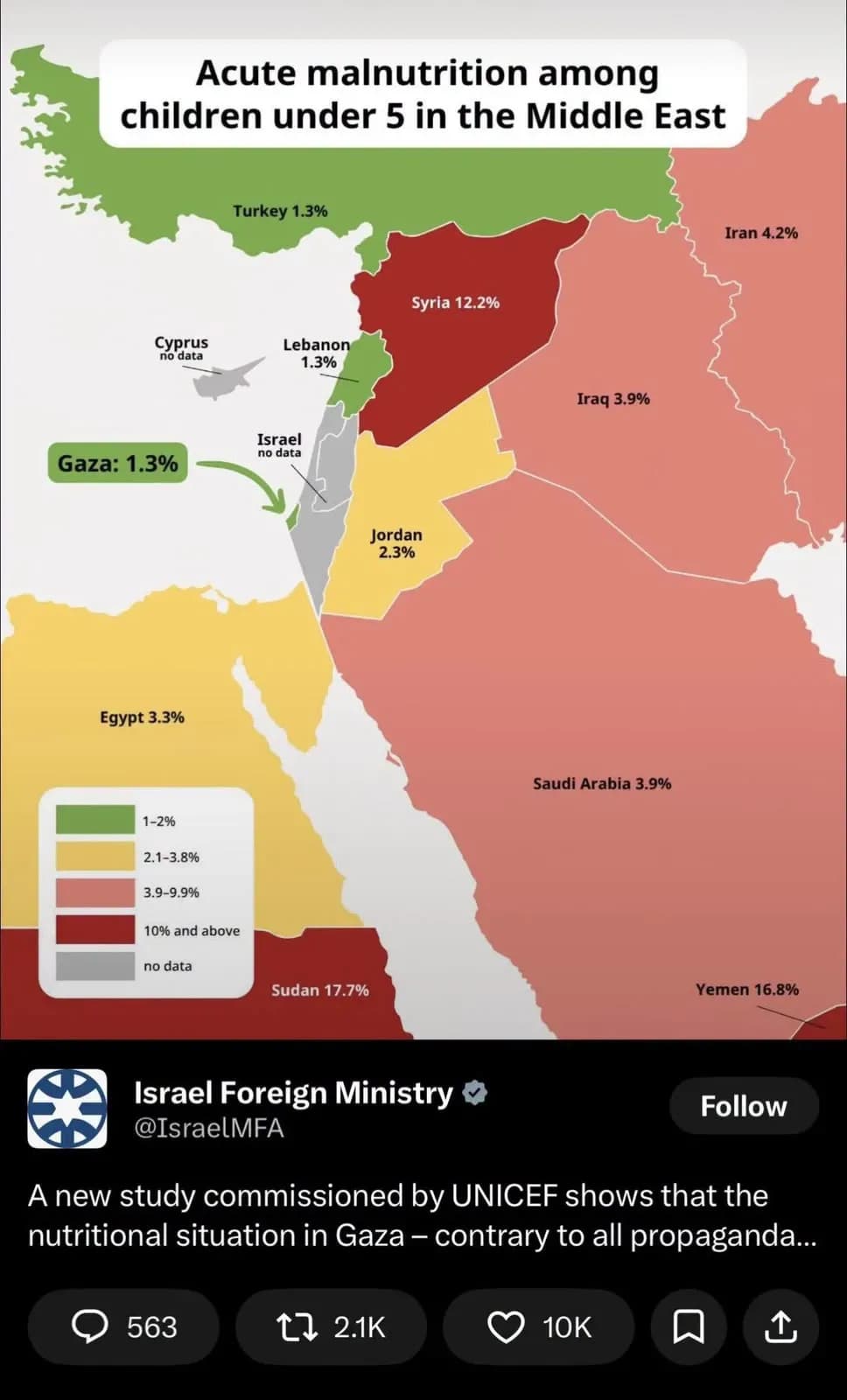
The publication of a map by the Israeli Ministry of Foreign Affairs, which shows parts of southern Lebanese territory within Israel's borders, sparked widespread controversy. The map used colors and statistical notations that do not align with internationally recognized boundaries. It indicated border changes that place certain areas of Lebanon within the Israeli territory, raising questions about Israel's intentions and the potential impact on negotiations and tensions in southern Lebanon.
تنويه: هذا ملخص تم إنشاؤه بواسطة الذكاء الاصطناعي




comments.heading