11 Hrs
المصدر:
BBC Home
BBC Home
جاهز للتشغيل
جاهز للتشغيل
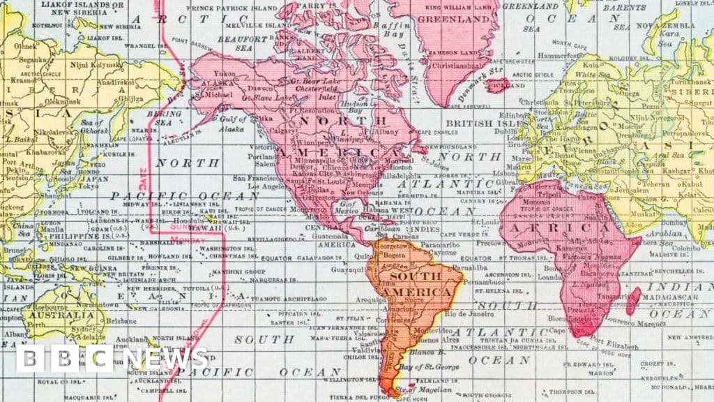
The UN has called to replace the traditional Mercator map, which distorts landmass sizes, with the Equal Earth projection to better reflect the true sizes of continents like Africa. The Mercator map, created in 1569 for navigation, enlarges areas near the poles and shrinks those near the equator, impacting perceptions of importance. The Equal Earth map offers more accurate landmass sizes but sacrifices navigational accuracy, while alternative maps like Peters' emphasize area over shape. The adoption aims to provide a more truthful global representation.
تنويه: هذا ملخص تم إنشاؤه بواسطة الذكاء الاصطناعي


_1777370220974_847775619.png&w=64&q=75)


comments.heading